Sunday, March 26, 2017

Arc GIS 10.5 with working Crack

Installation Guidelines

- Install the License Manager 10.5 (ArcGIS_Desktop_105_154030_DownLoadLy.iR.exe)
  when it finishes the license manager windows popup, DONT close the window go to (start/stop/reread option) press the STOP button

- Run as administrator the first patch (1_License_Manager105_Patch_DownLoadLy.iR.exe) click next, next till it finishes

- Run as administrator the "2_Arc105_keymaker_DownLoadLy.iR.exe"and press Generate Key then press Save to browse to
  C:\Program Files (x86)\ArcGIS\License10.5\bin then save

- ReRun License Server Administrator then press START

- Install the Arcgis Desktop 10.5 till it finishes a window will popup a window ArcGIS Administrator Wizard,
  Choose Advanced then on the License manager below type localhost the press OK

- Run as administrator the third and last patch (3_Arcgis_Desktop_105_patch_DownLoadLy.iR.exe) click next, next till it finishes

Note : Keygen may be identify as Malware take care of it.

Download here

Monday, January 9, 2017

Overlapping Aerial Photos by Drone - Controlling Software

For Preparing 3D Models overlapping photographs are important. Manually triggering Camera is very difficult and very time consuming. Further its may be fail to cover up overlap.
The Native DJI Flight Control software does not have any functionality to get overlapping photos.

Due to this Scenario we need to move third party software, Several Third party apps are available in play store and Apple store. However every apps have some short of pros and cons itself.

I have tested several Android apps for this purpose, within that I recommend Pix4d.
Image result for pix4d android
Pix4D Android Interface

Pros:

  • The Pix4D is very simple and easy to work. 
  • Not necessary Laptop or Computers in Field
  • Free App is available
  • Live Feedback of Drone Position.
  • Battery usage Guide.


Cons

  • We are  limited only in square shape. we can not input custom polygon shape. 
  • Camera Focusing only one side, for ContextCapture 3D Models need off nadir images. then you need to fly two times
For overcoming these cons, use UGCS (Universal Ground Control Software). The free version of this is can do anything but the limitation is 500 m radios limit of operation)

You can insert your Polygons, Digital Elevation Models etc. for your reference, Flight planning on Google maps, Google earth, Bing Maps etc, Then the flight planning become very easy.

Built in SRTM DEM facilitate you approximate elevation control of the Drone.

No any additional software are not necessary for operation.

CONS on UGCS - Computer is must in field.

MY STRONG RECOMMENDATION FOR FLIGHT PLANNING FOR 3D MODELLING USE UGCS. For Learn more 
Image result for UGCS
UGCS Flight Controlling Software interface

Friday, December 30, 2016

ContextCapture - Data Acquisition Guide

Download here Complete Guidelines for photo capturing and processing of 3D models in Contextcapture. This Guideline clearly describe step by step workflow of reality modelling in Contextcapture. If any Clarification Comment here. 

This Tutorial includes

  • HOW TO SETUP YOUR CAMERA  
  • LIMITATIONS 
  • HOW TO CAPTURE OBJECTS 
  • HOW TO CAPTURE BODIES AND FACES 
  • HOW TO CAPTURE FAƇADES AND BUILDINGS 
  • HOW TO CAPTURE INTERIORS 
  • UAS/UAV/DRONE ACQUISITION SETUPS 
  • 3D MODEL PRECISION 
  • ORTHO-PHOTOGRAPHS AND DSM PRODUCTION
  • FULL 3D MODELING
  • AERIAL MULTI-CAMERA SYSTEM DATASET ACQUISITION 
  • EXAMPLE
  • ESTIMATING THE FLIGHT HEIGHT 
  • ESTIMATING THE FLIGHT LINES SETUP AND SHOOTING FREQUENCY
  • CHECKING THE OBLIQUE SETUP
  • CONCLUSION

ContextCapture 4.4 With Crack


The newest ContextCapture update is here!


ContextCapture CONNECT Edition Update 4 is now available for download. This update introduces the revolutionary new capability announced at Year in Infrastructure delivering hybrid support for processing point clouds and photos. This innovation bridges the gap between sensor types used for capturing reality context and brings the best of both worlds to infrastructure professionals involved in design, construction and operations.

Major new capabilities include:

·         3D reconstruction from point clouds (static scanners only in this version, imported from PTX or E57 files)

·         User experience enhancements simplifying management of very large projects, user settings, user tie points and control points

·         New aerotriangulation mode leveraging the accuracy of advanced positioning systems such as GPS with RTK

    Speed improvement of aerotriangulation, reducing memory footprint by 30% and increasing its speed


Key Issues to be aware of:


Support for additional laser scanner data will be added in subsequent releases for things like aerial LiDAR. Reality meshes can be created from point cloud data alone or combined with photographs.
Download Here

Wednesday, December 21, 2016

Saturday, May 14, 2016

Overlapping Aerial Photographs Capturing by Drones - Principles

Introduction


These days the 3D modeling from photographs getting more popular. No of Software facilitate these functions in the GIS and Mapping arena. However some of the giant market leaders covered up 90% the market. Those are,
1. ContextCapture (Previously Known as Acute3D) From Bentley Systems
2. Drone2Map from ESRI.
3. Pix4D

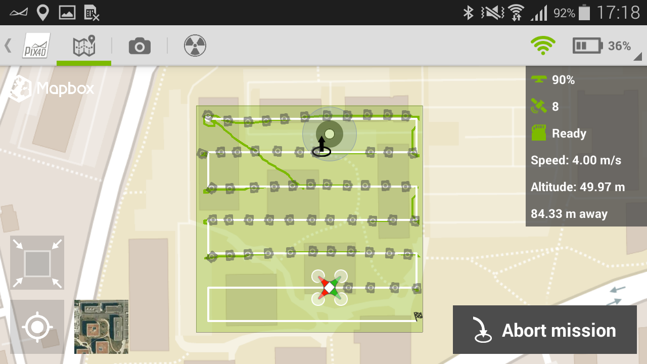
These Software are requesting minimum 60% overlapping images for preparing 3D models. But most of the Drone Manufactures did not provide the functionality of Capture Overlapping Photos on their Native Remote Controlling units. For example DJI. Then We Need to do this in Manually (See Here). So How we can do? For that we need to understand Some Principles of Digital Photography.


1. Sensor Size.

Every Digital Camera have a Image Sensor. When you doing a Aerial Photography you should know the your Camera Sensor Size. Its Generally measure in millimeters. Most of the sensors are Not in Square so you should understand your camera sensor width and length. these details can be found in your camera Manufacture Handbook.

2. Image Size

Image dimensions are the length and width of a digital image. It is usually measured in pixels. Generally The image size is not a fixed value for a camera. You can change as you wish. In aerial photography for 3D modelling the large image size is recommended. Hence Set your Camera maximum image size.

3. Pixel

In digital imaging, a pixel, pel, dots or picture element is a physical point in a raster image, or the smallest addressable element in an all points addressable display device; so it is the smallest controllable element of a picture represented on the screen.

4. Pixel size

Pixel size means how much length of a pixel.

Pixel size = Sensor length / Image length.

For exmple of DJI Phantom 3 Professional Camera:
Pixel Size = 6.16 / 4000
                 = 0.00154 mm

5. Focal Length

The focal length of the lens is the distance between the lens and the image sensor when the subject is in focus, usually stated in millimeters (e.g., 28 mm, 50 mm, or 100 mm). Normally the Drone Camera have fixed focal length.

6. Flight Height

Flight Height Means your drone flying Height. Normally Drones have Capable of flying in 120 m above the Ground in good weather condition. 

6. Ground Sample Distance

The Ground Sampling Distance (GSD) is the distance between two consecutive pixel centers measured on the ground. The bigger the value of the image GSD, the lower the spatial resolution of the image and the less visible details.

Normally the Accuracy of the Model is twice of Ground Sample Distance. Hence If your Ground Sample Distance is very low then your Model become High Accuracy.

GSD = Pixel Size X Flight Height / Focal Length.

Sunday, May 1, 2016

ContextCapture - Crack


ContextCapture is a Software from Bentley Systems for Creating realistic models for Digital Photographs. you can use your Smart phone camera as well.
The System have variety of Camera models in its database, if your camera in not that database its request from you, the sensor size. Other details the software will read from exif information of photographs.

If your photographs are geotaged then your model will be georeferenced. otherwise if you want accurate goereference using DGPS can be done using control points. we will discuss these in next coming posts.

Due to its Structured workflow the developing of 3D models is very easy, and Developed models can be use in 3rd party application. Because you can export different formats, like OBJ, 3mx, and etc.

Horizontal and vertical Accuracy of the model is double of ground sampling distance.